Project maps
PDF maps showing the agreed project footprint, field observations, and relevant reference layers, with legends, scale, and data sources.
GIS & field tools · Project-based support
Turn project boundaries and field observations into maps, organized data, and mobile forms your team can use.
Free initial consultation. Your quote confirms the scope, deliverables, timing, and fee.
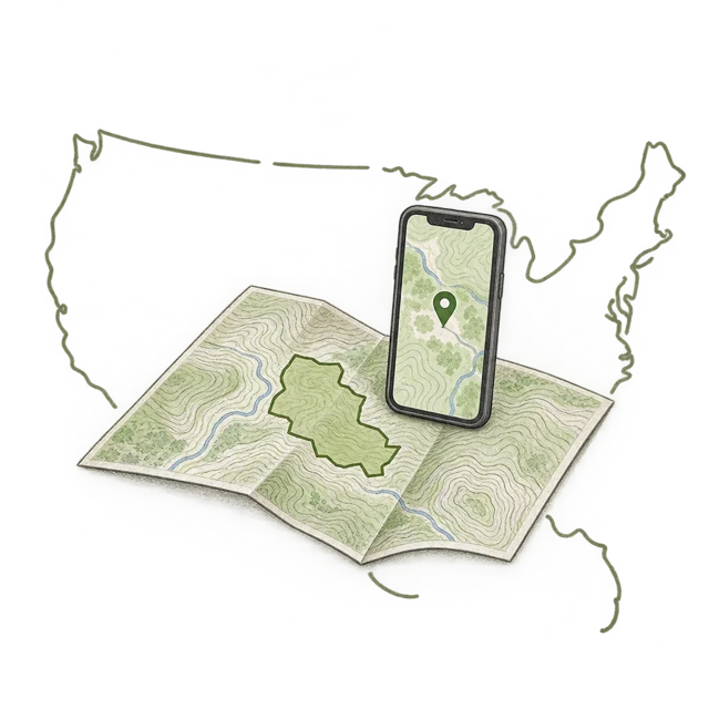
What you receive
Choose the pieces your team needs. We agree on what’s included before work begins.
PDF maps showing the agreed project footprint, field observations, and relevant reference layers, with legends, scale, and data sources.
Project polygons and observation layers in the agreed file format, with clear layer names, coordinate-system information, and a short data guide.
Optional ArcGIS Field Maps configuration for observations, photos, and project records, plus setup instructions and a walkthrough.
How it starts
Start with your work area, the question the map needs to answer, and any files you already have. We agree on outputs, software access, revisions, and handoff. Your final package includes the agreed maps, data, and instructions.
Get a GIS deliverables quoteA project boundary or marked-up aerial image, the planned work, existing GIS files, and a description of who will use the maps. If you need a starting outline, use the project mapping resources.
Offline use can be included where the chosen software and data support it. We confirm devices, map downloads, synchronization, and an on-site test as part of the scope.
Licenses, hosting, access permissions, training, and future updates are defined in the quote. Existing ArcGIS accounts may be needed for Field Maps; software subscriptions are not automatically included.
The number and condition of input files, map layers, users, field forms, required outputs, and review rounds. A single project map and a team-wide mobile workflow have different scopes.
No. These are project-planning and biological-data products. Approximate boundaries are identified as such; land surveying, engineering certification, and agency decisions remain separate.
Software reference: Esri ArcGIS Field Maps. Platform access and offline requirements are confirmed during scoping.
Send your project goal, location, and target schedule.